
Capturing existing buildings has traditionally been one of the most tedious parts of getting a project started. Site visits, specialized scanning equipment, and hours of manual modeling all had to happen before the actual design work could even begin. For renovations, infrastructure projects, and urban planning in particular, documenting what already exists has long been one of the most resource-intensive phases of the whole process.
That’s exactly the gap photo to 3D model technology is built to close and it’s a lot more capable than it sounds. Platforms like Geopogo are showing what happens when this idea gets applied directly to architecture and engineering workflows.
At its core, photo to 3D model technology uses AI to convert ordinary photographs – no laser scanner, no drone, sometimes just a phone camera into a detailed 3D digital model. For general use cases, that might mean turning a product photo into a 3D asset. For AEC teams specifically, it means something far more useful: turning real photos of real buildings into models that integrate directly with the design software already running the project.
Geopogo is a good example of this applied well. Instead of stopping at a rough 3D shape, it generates detailed building models that plug into professional tools like Revit, letting architects, engineers, and planners go from photos to a usable digital twin without reinventing their workflow to get there.
If you’ve ever been part of a renovation or infrastructure project, you already know the pain point: before anyone can design what’s next, someone has to accurately document what’s already there. That usually meant one of two options:
Both approaches work. Both are also slow, expensive, and easy to bottleneck a project on – which is exactly why “capture existing conditions faster” has become such a common search behind the growing interest in photogrammetry software and AI-driven reality capture tools.
Ordinary photographs not laser scanners or drones are enough to generate a usable 3D starting point, lowering the barrier for teams that don’t have scanning equipment on hand.
What used to take hours of manual modeling (or days of scheduling a scan) can happen in a fraction of the time, letting teams move from “we need this documented” to “we have a working model” much faster.
The output isn’t just a nice-looking 3D shape — it’s meant to integrate with platforms like Revit, so the model becomes an actual working part of the project instead of a disconnected visual reference.
Beyond individual structures, this same approach can reconstruct entire surrounding environments useful for urban planning and context-heavy projects where the neighborhood matters as much as the building itself.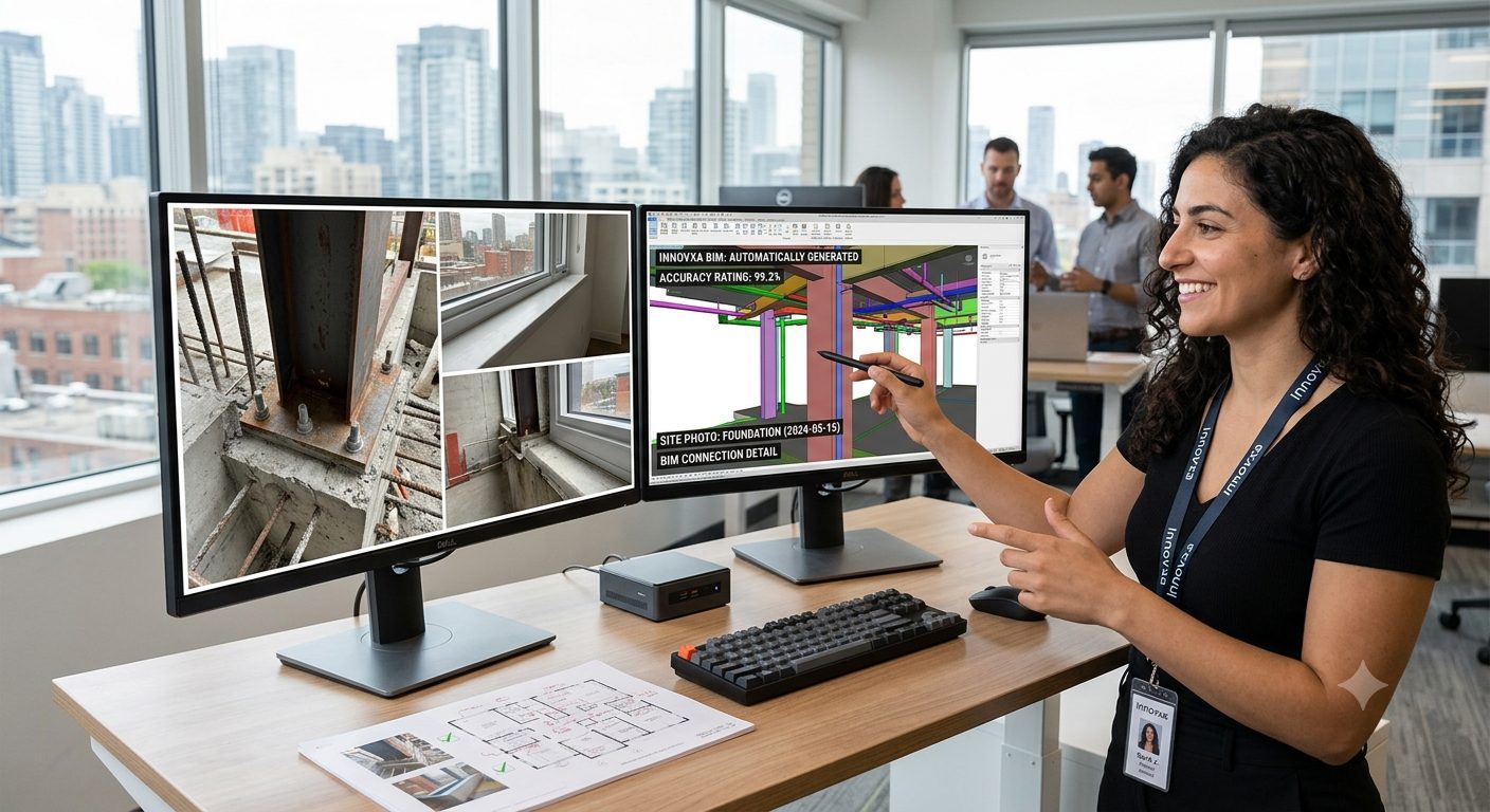
It’s tempting to talk about this purely in terms of hours saved and yes, that’s real. But the bigger shift is when planning and design work can actually start. When accurate context models take days instead of weeks, project teams move into planning, coordination, and design much sooner. Instead of spending valuable time rebuilding what already exists, professionals get to spend that time improving what comes next.
At Innovxa, we see AI creating the greatest impact when it removes friction from established workflows not when it asks teams to abandon the tools they already trust. Photo to 3D model technology is a strong example: it doesn’t change how architects and engineers work, it just removes one of the slowest, most repetitive steps standing in their way – giving engineering teams more time to focus on design, collaboration, and innovation.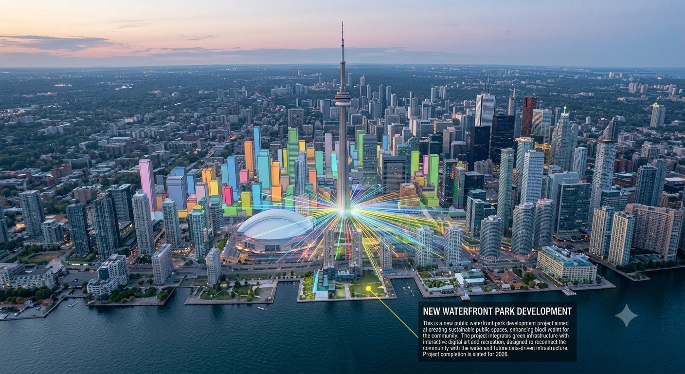
Turning photos into intelligent 3D models isn’t a novelty anymore, it’s becoming a legitimate part of how AEC teams document existing conditions. Tools like Geopogo show what this looks like when it’s built specifically for professional workflows: fast, accessible with just a camera, and designed to plug directly into the software teams already rely on.
As this category matures, the advantage won’t just belong to teams that adopt it first – it’ll belong to the teams that use the time it saves to actually design better.
Every workflow has a step like this one that eats up time without adding much value. If you’re curious where AI could quietly take that weight off your team, Innovxa can help you find it. Explore our AI solutions page to see how we approach automation that fits into the way professionals already work, not the other way around.